Service
Drone Filming of Land and Plots — Montenegro
Capture the boundaries and full potential of the location
About the service
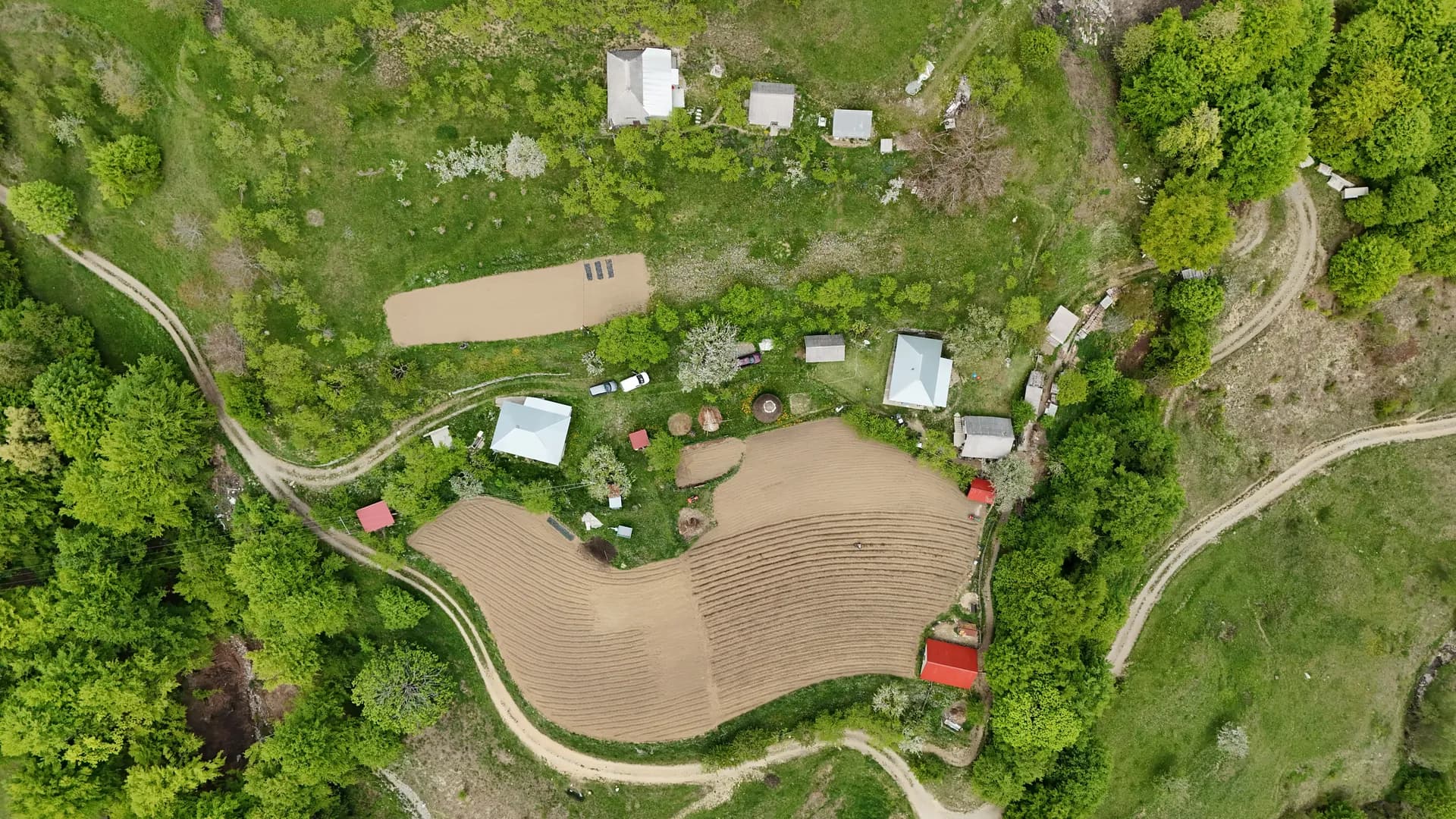
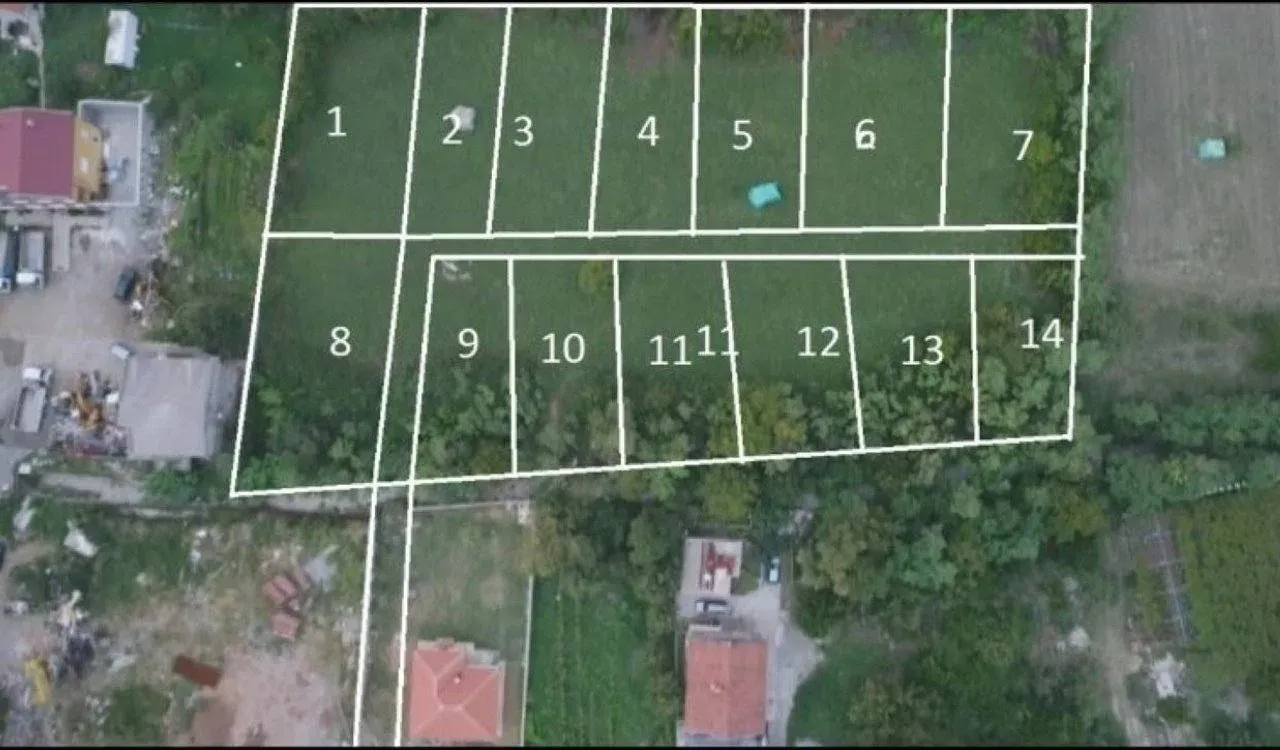
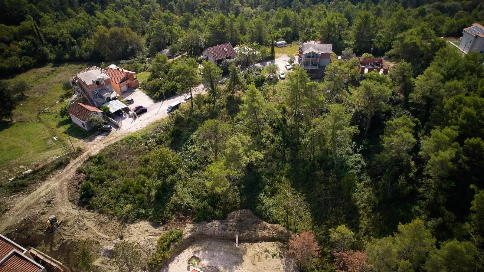
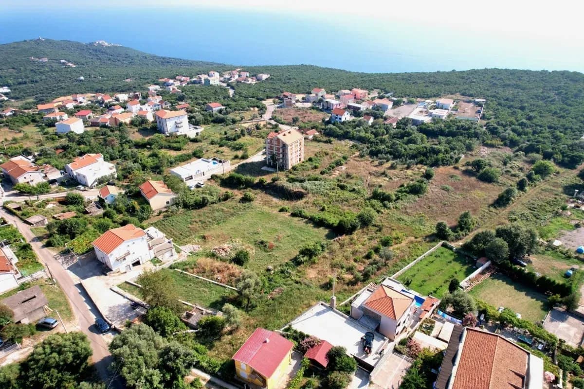
Selling a plot from the ground is often hard to read. Aerial footage is the only way for a buyer to get a clear picture of the shape, size and real potential of the land. Our 4K aerial shots precisely show the boundaries and surroundings, turning an ordinary meadow or forest into an attractive investment.
Why aerial footage speeds up land sales
- Boundaries and shape: From a bird's-eye view the buyer clearly sees the dimensions, terrain and exact shape of the plot, which is often impossible to judge from the ground
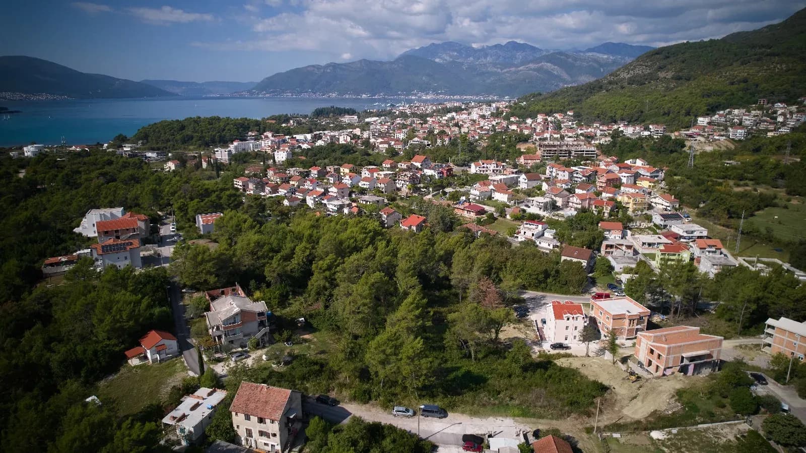
- Infrastructure and access: A single shot shows access roads, the proximity of power and water, and surrounding buildings, removing guesswork and unnecessary questions
What you get
A complete aerial overview of the land that saves time for you and the buyer. All material, including high-resolution photos and an edited video, is delivered within 48 hours. Every flight strictly follows Montenegrin civil aviation regulations.
Equipment and experience
For mapping plots we use a 4K UHD camera with RAW photos and a drone range of up to 13 km, enough to cover even the largest plots in one flight without moving the equipment. More than 100 flight hours and a UAS A1/A3 licence from the Civil Aviation Agency of Montenegro guarantee a precise and compliant flight. We cover terrain across Montenegro, from the plains around Podgorica to the slopes around Kolašin and the coast.
Digital calculator
Find out the price now.
Use our online tool for a quick cost estimate. Enter the details and get a ballpark quote in a few seconds.